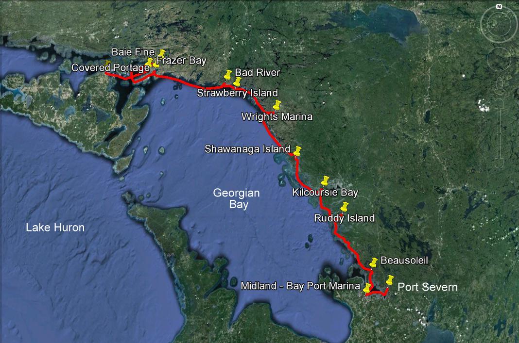
Aug 6th, Monday, Day 94: Georgian Bay to South Benjamin Islands
Aug 7th, Tuesday, Day 95: South Benjamin Island to Oak Bay
Aug 8th, Wednesday, Day 96: Oak Bay to Whalesback Channel
Aug 9th Thu, Day 97 Whalesback Channel to Drummond Island - USA
Aug 10th & 11th, Fri-Sat, Days 98-99 Drummond to Mackinac Island, MI
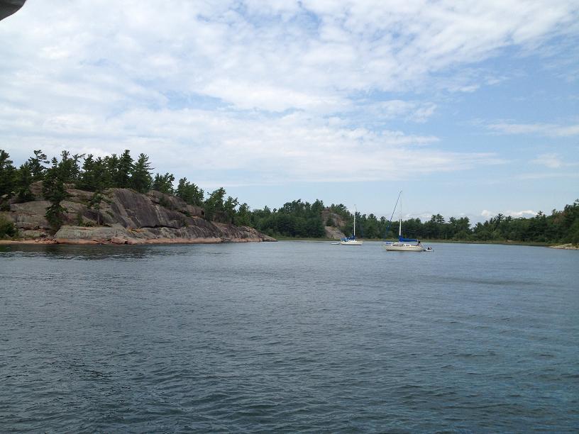
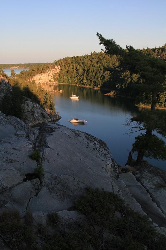
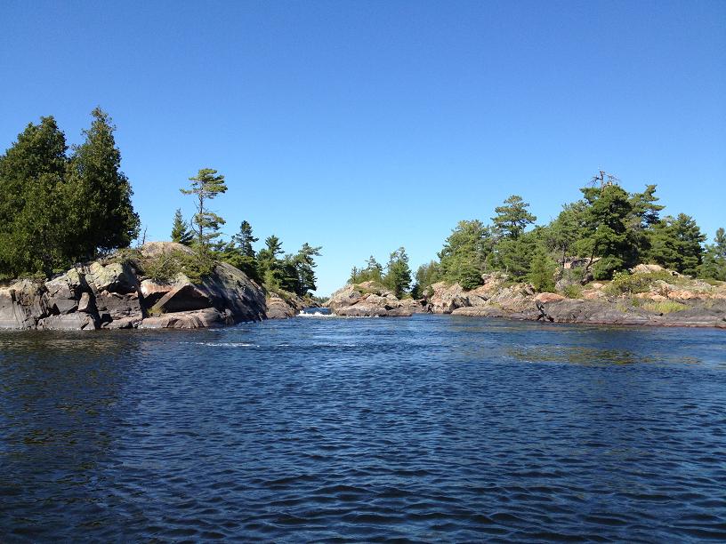
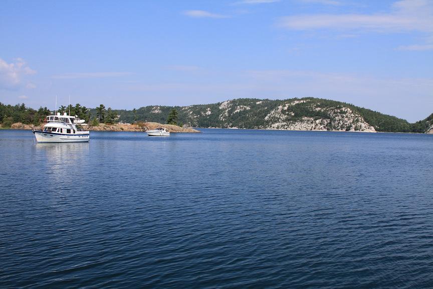
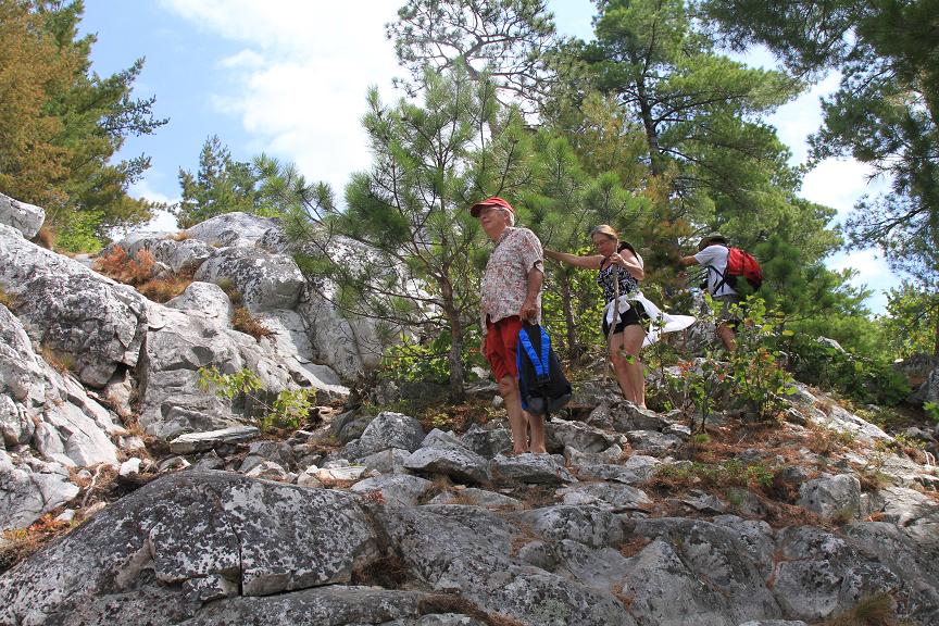
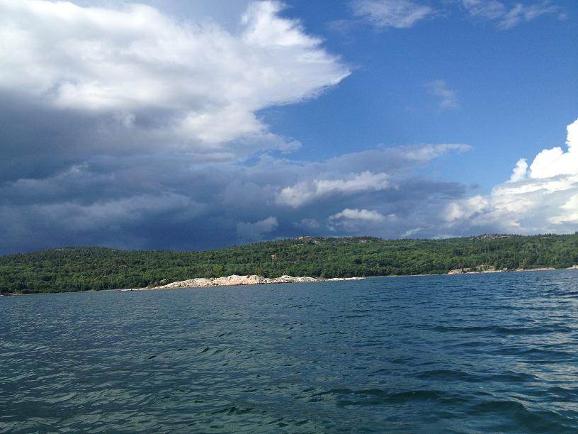
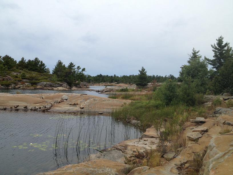
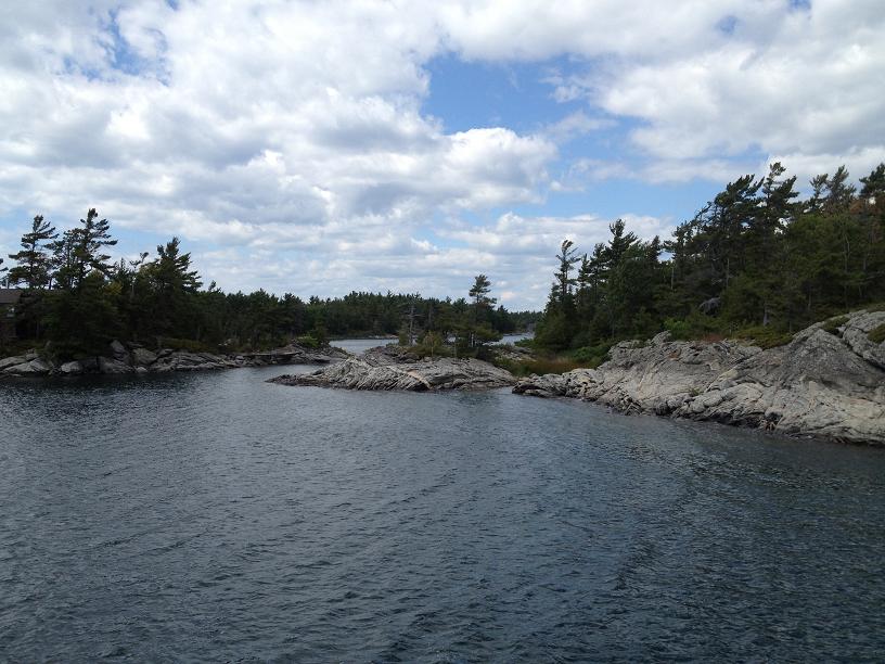
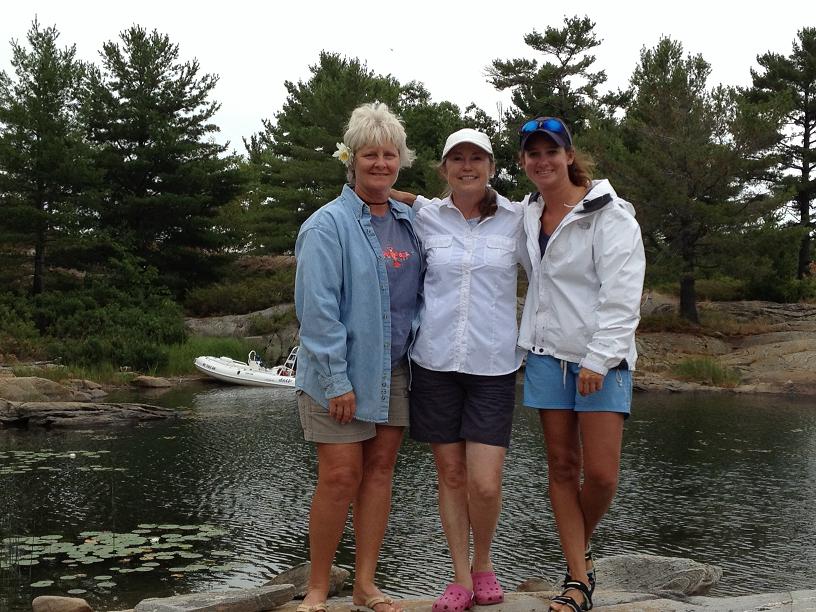
After the winds subsided Monday morning, we were finally able to leave the security of the Gore Bay marina and head out with Woody & Carolyn back to one of our previously visited islands in the North Channel. Our destination was somewhere in the Benjamins. Since there was still some moderate winds forecasted for Monday night from the south, we chose a very popular bay on the north side of South Benjamin island which we hoped would give us some shelter from the winds and waves. Throughout the day, several boaters echoed our choice of an anchorage by coming into the bay and dropping their hook. By the end of the day, the bay had over 30 boats spending the night. This bay was surrounded by large granite rocks and several large hills which sloped down to the water’s edge, inviting us to come to shore & walk up to the top of the island, which of course we did, via Ricky-Dink. We also took a dinghy tour of the bay and around the point at the corner of the anchorage. Unfortunately, we seem to have been getting a daily weather pattern of light rain and threatening clouds, so our venture via the dinghy was cut short when ominous clouds started forming on the horizon.
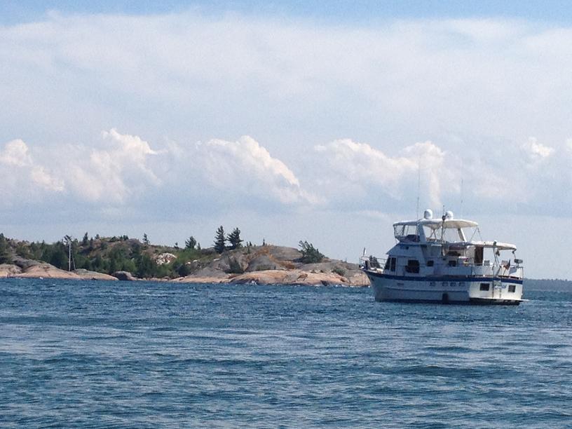
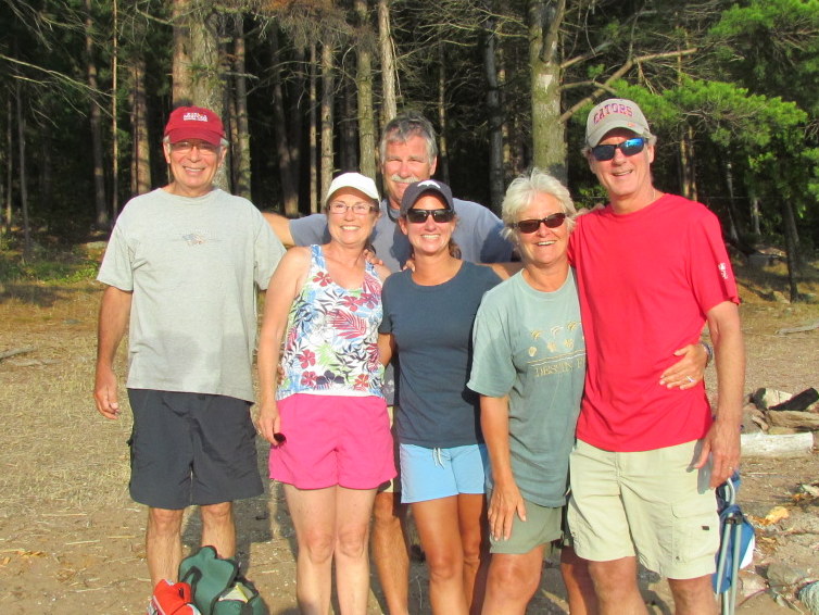
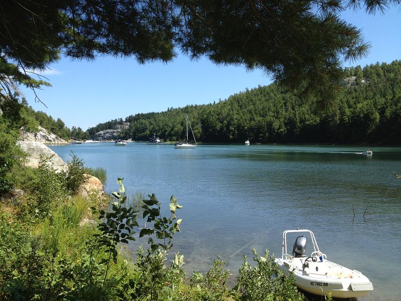
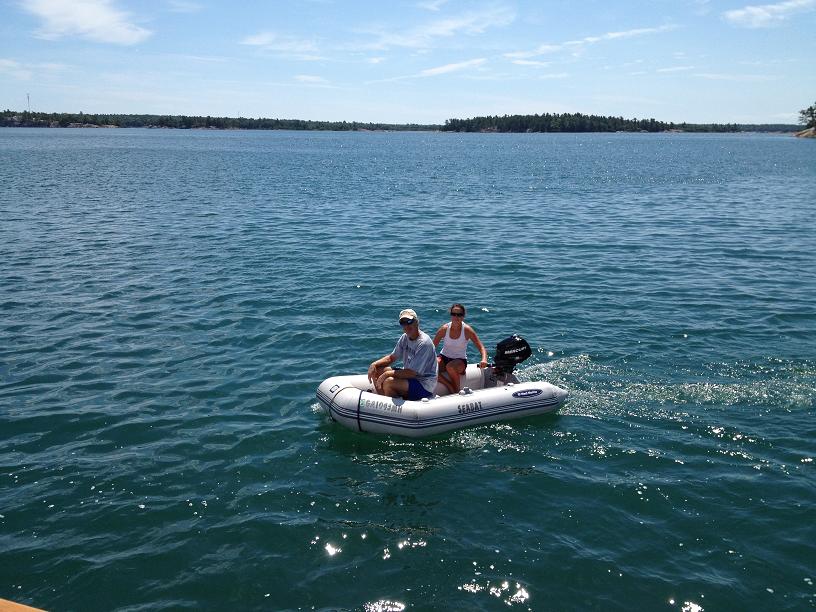
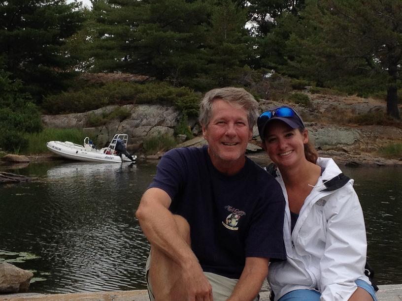
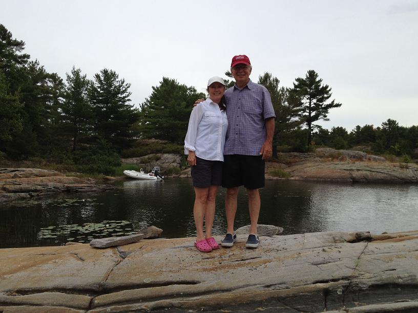
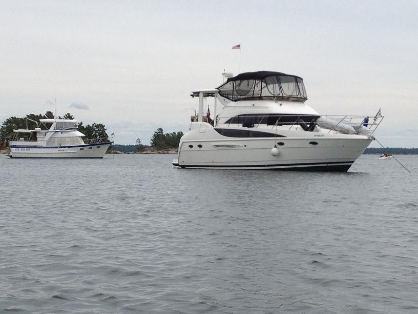
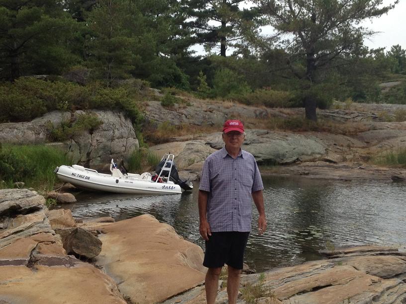
On Tuesday, we left south Benjamin Island and headed northwest to meet up with another buddy boat, Hallelujah, owned by Dave & Barb Reinken, which is also a Defever 44 and very similar to Rickshaw. We motored up to Oak Bay, and by mid-day, were securely anchored a hundred yards from Hallelujah. After eating a quick bite of lunch, we dropped the dinghy into the water and took an extensive cruise around the surrounding waters, past a youth group camp, where there were several First Nation teenagers paddling kayaks in and around the marsh grasses which lined the banks of the bay. After returning to Rickshaw, Woody, Carolyn & Jim toured the immediate area in borrowed kayaks from Hallelujah. Afterwards, we invited Dave & Barb over for dinner on our aft-deck and were entertained by Woody on the guitar, featuring sailing and western songs.
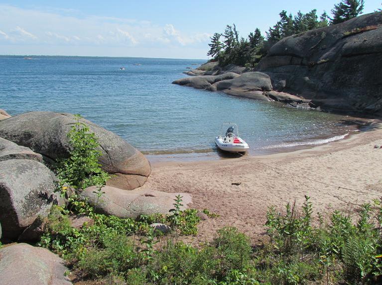
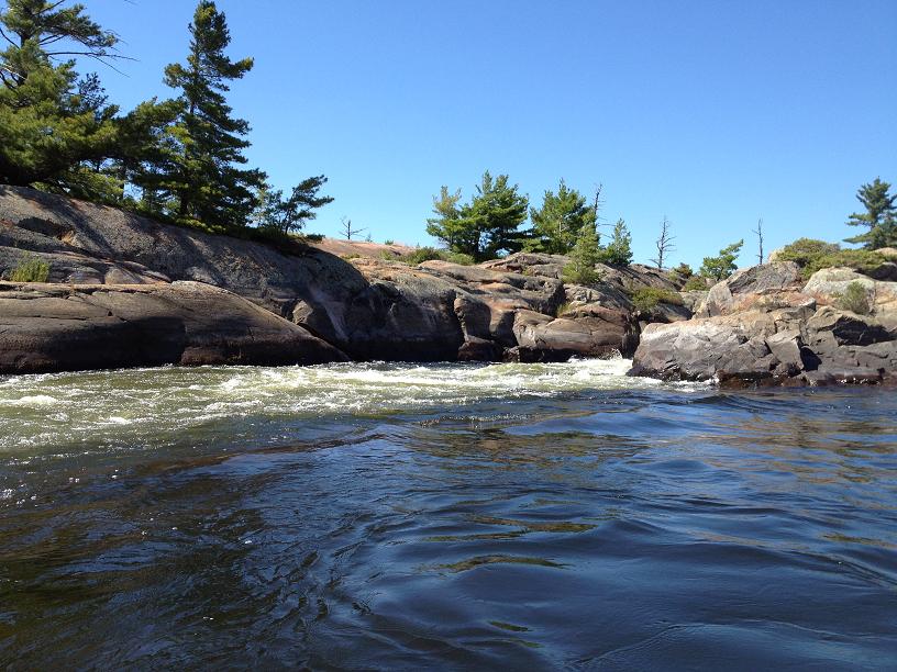
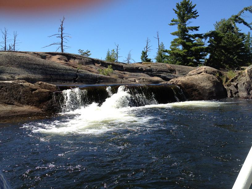
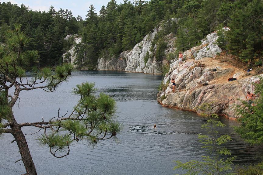
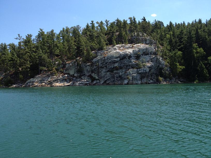
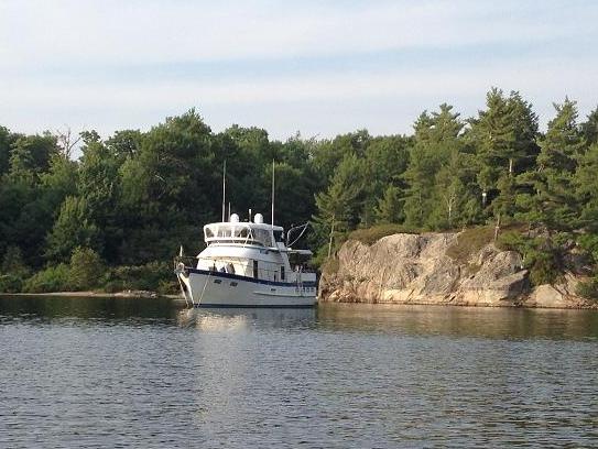
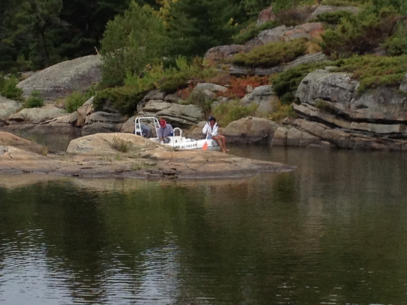
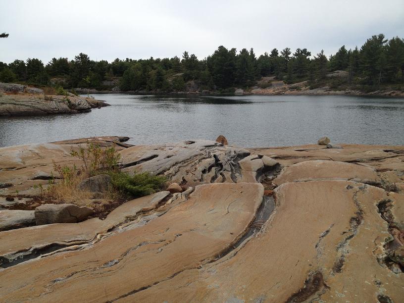
Wednesday’s destination was the very scenic Bear Drop Bay in Whalesback Channel, further west along the northern shore of the North Channel, some 20 miles away. We said goodbye to Hallelujah as our paths diverged, and we motored into the narrow and shallow channel into Bear Drop, with Belinda and Woody on bow-watch keeping a keen eye for any shallow rocks in the uncharted entrance. We were pleasantly surprised to find the very popular anchorage virtually empty, so we picked an ideal spot in the middle of the bay, before taking our exploratory dinghy ride around the bay followed by a circumnavigation of the island. Approaching Rickshaw, we stopped for a quick visit with another boat, White Star, which was a mint-condition 1987 Valiant sailboat. Gar & Helen from Toronto on White Star mentioned that they had enjoyed Woody’s concert which carried over the bay the night before in Oak Bay, where they were also anchored, so we invited them over for a repeat performance by Woody that night, which they eagerly accepted.
We had been keeping close attention to a forecast for gale-force winds that were
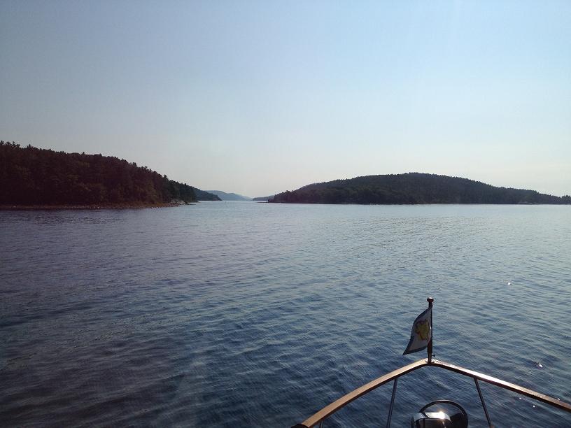
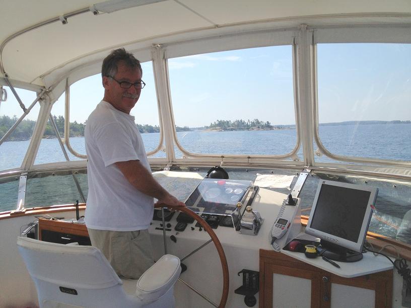
supposed to be moving into the area by Thursday night, so when we woke Thursday morning we considered our options for where to stay that night, and decided to push for Drummond Island, 56 miles away, which is the port of entry for boats re-entering the US, so we could be in a marina and wait for the storm to move through. Coincidentally, at exactly the same time as our chartplotter moved from the Canadian charts to the US charts, the ipod selected the next song in the shuffle list & John Denver started singing "It's good to be back home again" over the boat speakers. After a long day on the water, we arrived in Drummond at 4pm, cleared customs, and headed to our assigned slip, which unfortunately was very exposed to the incoming north winds that were beginning to build. We swapped our 5/8” docklines for the larger 1” docklines and tied Rickshaw to the windward dock in 7 places trying to hold her close enough to the dock to enable us to step off and on Rickshaw without much difficulty. In spite of our extra security, when we awoke on Friday morning, after hearing the wind howling throughout the night, Rickshaw had moved 2 feet from the dock due to the constant pulling and slacking of the docklines.
Since we were pretty much certain to be staying in the marina for a couple of days,
Woody & Carolyn took the opportunity to retrieve their car in Sault Ste. Marie, where they had dropped it off almost a week before, and bring it back to Drummond. At this point, the weather forecast did not look promising. We had hoped to be in Mackinac Island Saturday night, but the weather forecast indicated that the weather system that was producing the high winds was supposed to last until late Saturday night, making the hope that we would be in Mackinac before Sunday not very promising. While Woody & Carolyn fetched their car, Belinda took advantage of the downtime to catch up on laundry, while Jim wrestled the washing machine out of its closet to diagnose the source of a water leak that had appeared during the last washing cycle on-board. The washing machine has been a huge advantage on-board, allowing Belinda to wash clothes every couple of days, and not spend time at marinas waiting for machines on-shore.
When Saturday morning arrived, we received an updated weather forecast, which predicted light rain, winds around 15-20 knots, with 2-3 foot seas, between Drummond and Mackinac, 40 miles away. Even though the forecast was not ideal, we decided that we would push to Mackinac, which would keep us on schedule and allow us to be in Mackinac on Sunday, which was predicted to be a sunny & warm day. So after a quick run to the grocery store in Drummond (thanks to Woody’s car), we pulled away from the Drummond marina at 11am, with Woody & Carolyn to catch up with us in Mackinac 5 hours later.
Aug 7th, Tuesday, Day 95: South Benjamin Island to Oak Bay
Aug 8th, Wednesday, Day 96: Oak Bay to Whalesback Channel
Aug 9th Thu, Day 97 Whalesback Channel to Drummond Island - USA
Aug 10th & 11th, Fri-Sat, Days 98-99 Drummond to Mackinac Island, MI
After the winds subsided Monday morning, we were finally able to leave the security of the Gore Bay marina and head out with Woody & Carolyn back to one of our previously visited islands in the North Channel. Our destination was somewhere in the Benjamins. Since there was still some moderate winds forecasted for Monday night from the south, we chose a very popular bay on the north side of South Benjamin island which we hoped would give us some shelter from the winds and waves. Throughout the day, several boaters echoed our choice of an anchorage by coming into the bay and dropping their hook. By the end of the day, the bay had over 30 boats spending the night. This bay was surrounded by large granite rocks and several large hills which sloped down to the water’s edge, inviting us to come to shore & walk up to the top of the island, which of course we did, via Ricky-Dink. We also took a dinghy tour of the bay and around the point at the corner of the anchorage. Unfortunately, we seem to have been getting a daily weather pattern of light rain and threatening clouds, so our venture via the dinghy was cut short when ominous clouds started forming on the horizon.
On Tuesday, we left south Benjamin Island and headed northwest to meet up with another buddy boat, Hallelujah, owned by Dave & Barb Reinken, which is also a Defever 44 and very similar to Rickshaw. We motored up to Oak Bay, and by mid-day, were securely anchored a hundred yards from Hallelujah. After eating a quick bite of lunch, we dropped the dinghy into the water and took an extensive cruise around the surrounding waters, past a youth group camp, where there were several First Nation teenagers paddling kayaks in and around the marsh grasses which lined the banks of the bay. After returning to Rickshaw, Woody, Carolyn & Jim toured the immediate area in borrowed kayaks from Hallelujah. Afterwards, we invited Dave & Barb over for dinner on our aft-deck and were entertained by Woody on the guitar, featuring sailing and western songs.
Wednesday’s destination was the very scenic Bear Drop Bay in Whalesback Channel, further west along the northern shore of the North Channel, some 20 miles away. We said goodbye to Hallelujah as our paths diverged, and we motored into the narrow and shallow channel into Bear Drop, with Belinda and Woody on bow-watch keeping a keen eye for any shallow rocks in the uncharted entrance. We were pleasantly surprised to find the very popular anchorage virtually empty, so we picked an ideal spot in the middle of the bay, before taking our exploratory dinghy ride around the bay followed by a circumnavigation of the island. Approaching Rickshaw, we stopped for a quick visit with another boat, White Star, which was a mint-condition 1987 Valiant sailboat. Gar & Helen from Toronto on White Star mentioned that they had enjoyed Woody’s concert which carried over the bay the night before in Oak Bay, where they were also anchored, so we invited them over for a repeat performance by Woody that night, which they eagerly accepted.
We had been keeping close attention to a forecast for gale-force winds that were
supposed to be moving into the area by Thursday night, so when we woke Thursday morning we considered our options for where to stay that night, and decided to push for Drummond Island, 56 miles away, which is the port of entry for boats re-entering the US, so we could be in a marina and wait for the storm to move through. Coincidentally, at exactly the same time as our chartplotter moved from the Canadian charts to the US charts, the ipod selected the next song in the shuffle list & John Denver started singing "It's good to be back home again" over the boat speakers. After a long day on the water, we arrived in Drummond at 4pm, cleared customs, and headed to our assigned slip, which unfortunately was very exposed to the incoming north winds that were beginning to build. We swapped our 5/8” docklines for the larger 1” docklines and tied Rickshaw to the windward dock in 7 places trying to hold her close enough to the dock to enable us to step off and on Rickshaw without much difficulty. In spite of our extra security, when we awoke on Friday morning, after hearing the wind howling throughout the night, Rickshaw had moved 2 feet from the dock due to the constant pulling and slacking of the docklines.
Since we were pretty much certain to be staying in the marina for a couple of days,
Woody & Carolyn took the opportunity to retrieve their car in Sault Ste. Marie, where they had dropped it off almost a week before, and bring it back to Drummond. At this point, the weather forecast did not look promising. We had hoped to be in Mackinac Island Saturday night, but the weather forecast indicated that the weather system that was producing the high winds was supposed to last until late Saturday night, making the hope that we would be in Mackinac before Sunday not very promising. While Woody & Carolyn fetched their car, Belinda took advantage of the downtime to catch up on laundry, while Jim wrestled the washing machine out of its closet to diagnose the source of a water leak that had appeared during the last washing cycle on-board. The washing machine has been a huge advantage on-board, allowing Belinda to wash clothes every couple of days, and not spend time at marinas waiting for machines on-shore.
When Saturday morning arrived, we received an updated weather forecast, which predicted light rain, winds around 15-20 knots, with 2-3 foot seas, between Drummond and Mackinac, 40 miles away. Even though the forecast was not ideal, we decided that we would push to Mackinac, which would keep us on schedule and allow us to be in Mackinac on Sunday, which was predicted to be a sunny & warm day. So after a quick run to the grocery store in Drummond (thanks to Woody’s car), we pulled away from the Drummond marina at 11am, with Woody & Carolyn to catch up with us in Mackinac 5 hours later.
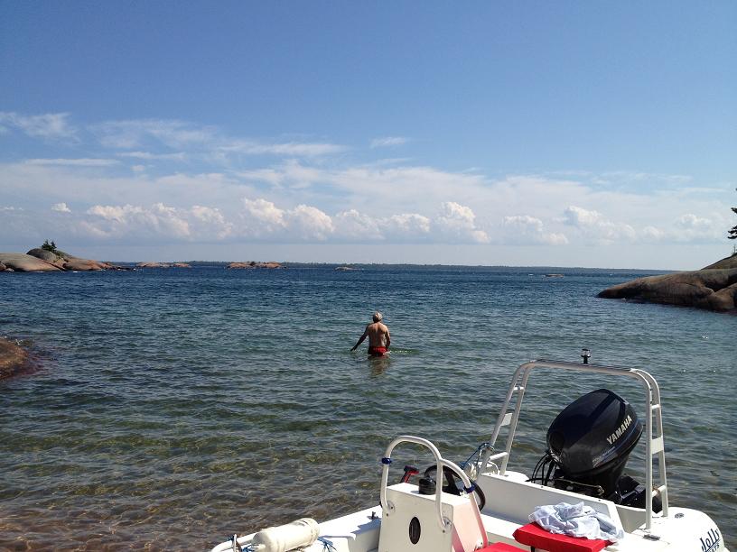
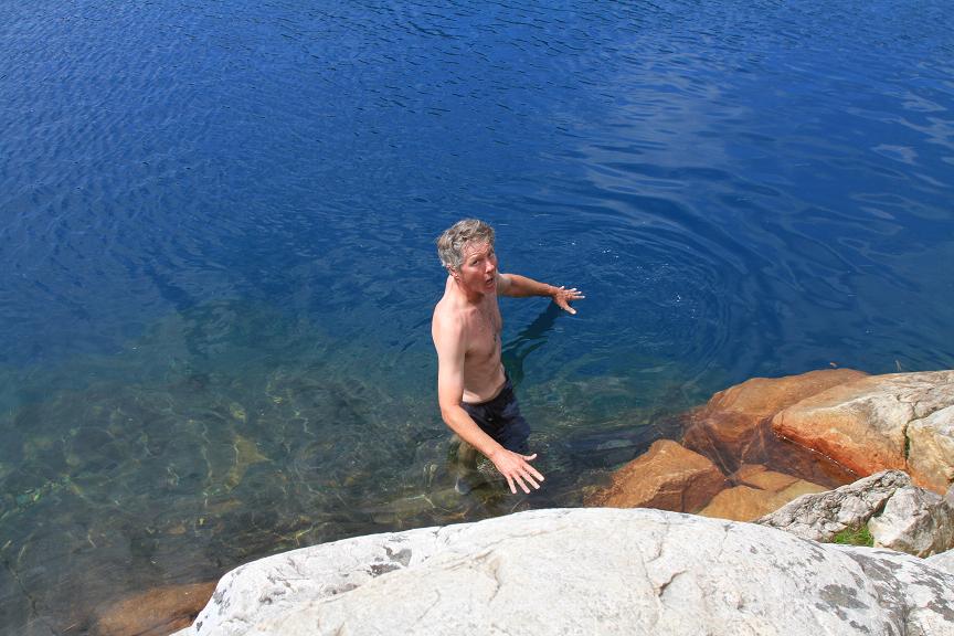
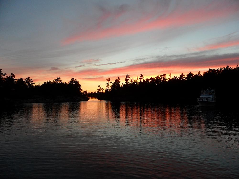
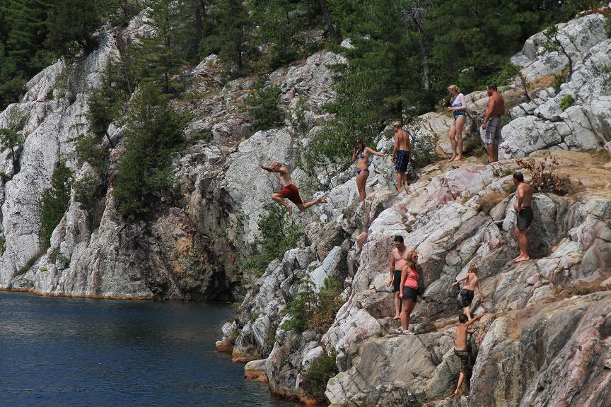
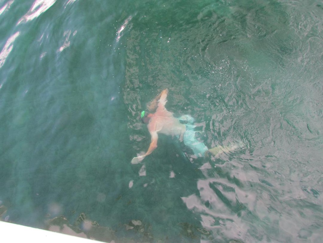
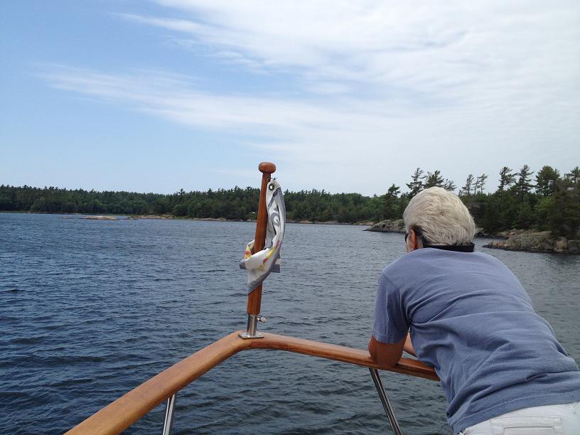
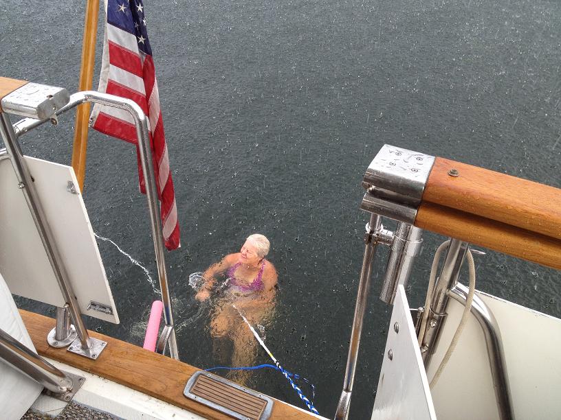
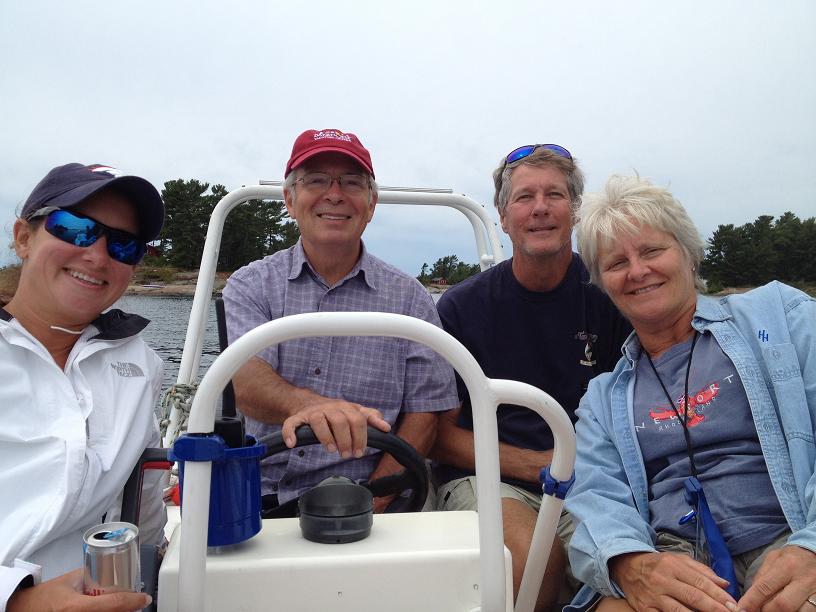
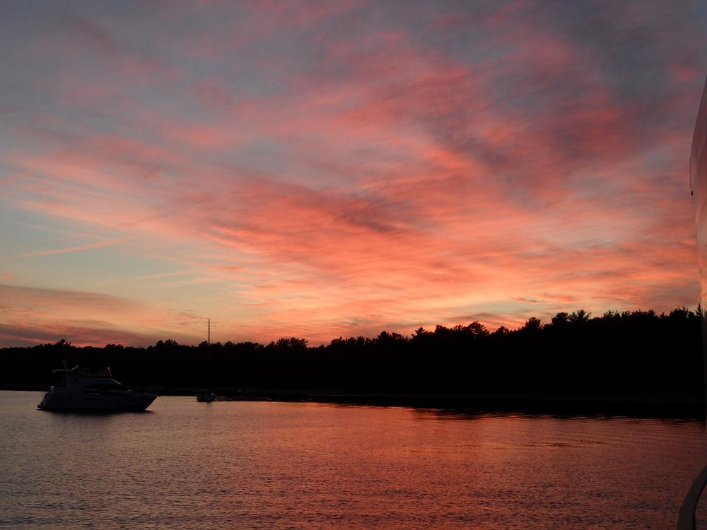
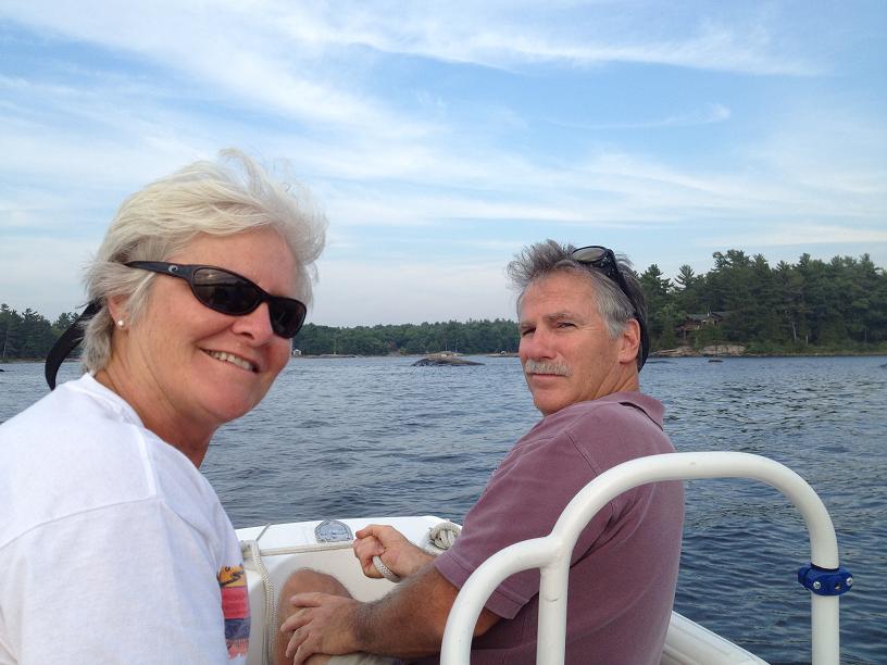
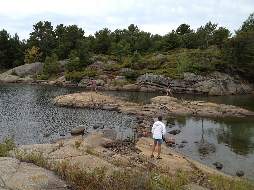
 Carolyn and Belinda out on the fore deck.  Belinda on bow watch. Not all rocks are as obvious as the one off the port bow. Some rocks are that big but just inches under the water. Ouch, we don't want to hit one of those!  The South Benjamin anchorage we had to share with too many other boats. But it was beautiful surrounded with granite rocks. We hiked up the rocks to take this picture. 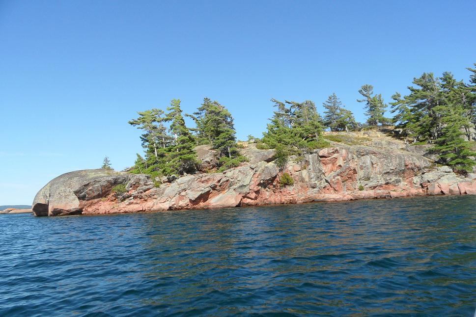 More of the rocks that created the bay for our anchorage. 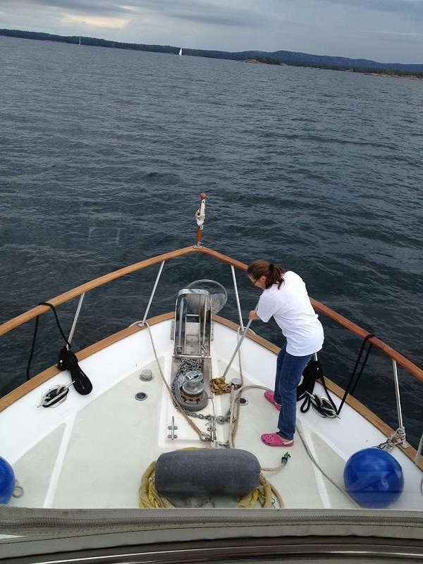 It's not fun all the time. Belinda's swabbing the deck after raising the anchor. We sure do miss Al sometimes. 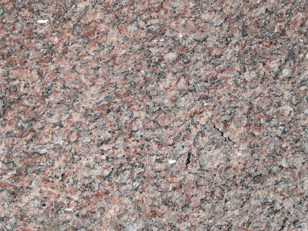 This is the pink granite we hiked on - 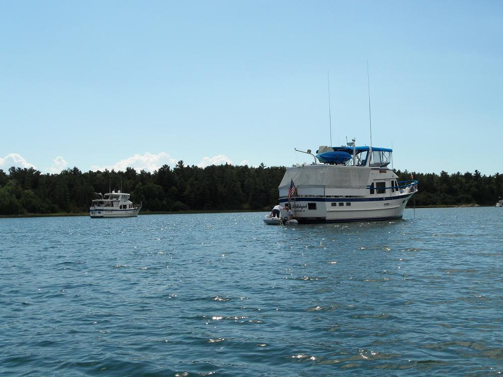 Hallelujah in the foreground and Rickshaw in the back. They are sisters - both 44' DeFevers. 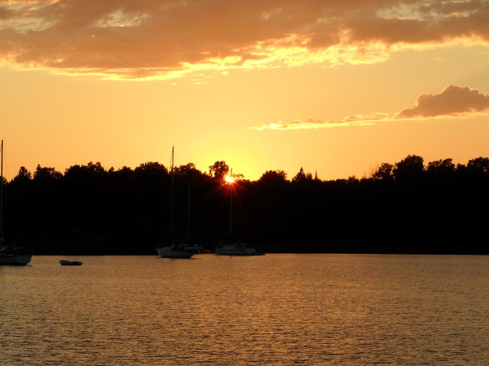 Sunset in Oak Bay.  Woody going in for a swim. |  Jim helping Carolyn at the helm as we head towards our next anchorage. 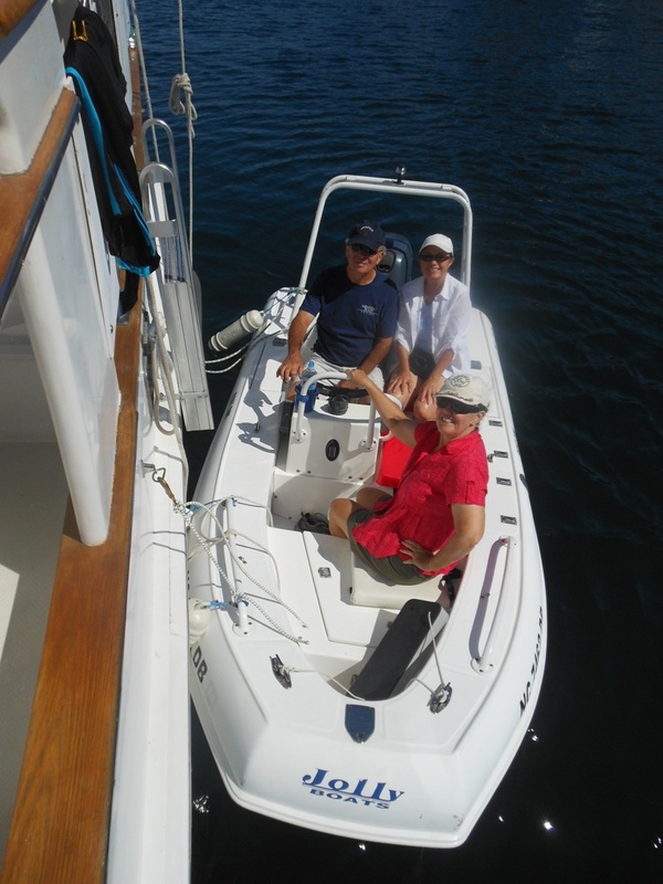 Jim, Belinda and Carolyn - waiting on Woody to board Ricky-Dink for a gunk-holing trip. 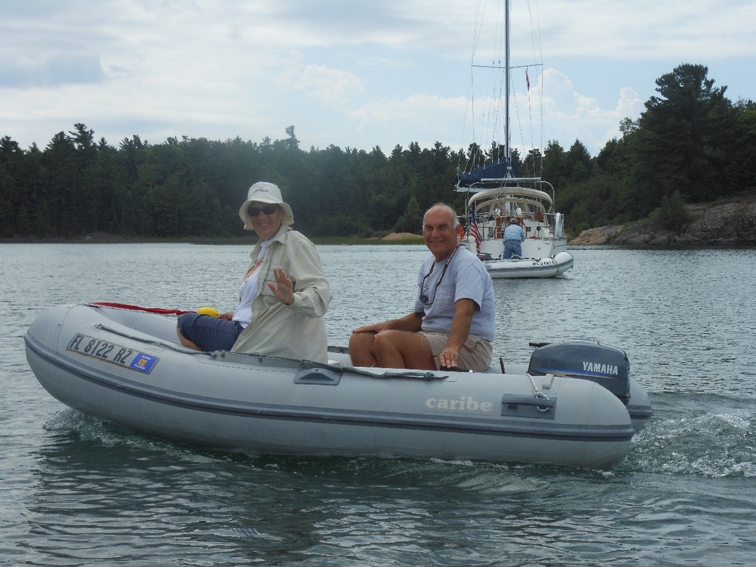 Barb and Dave Reinken from Hallelujah going on a dinghy ride with us. 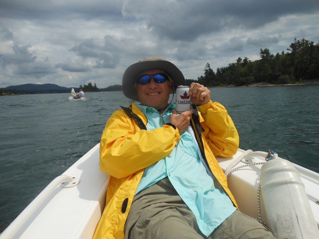 Woody and a Canadian beer! 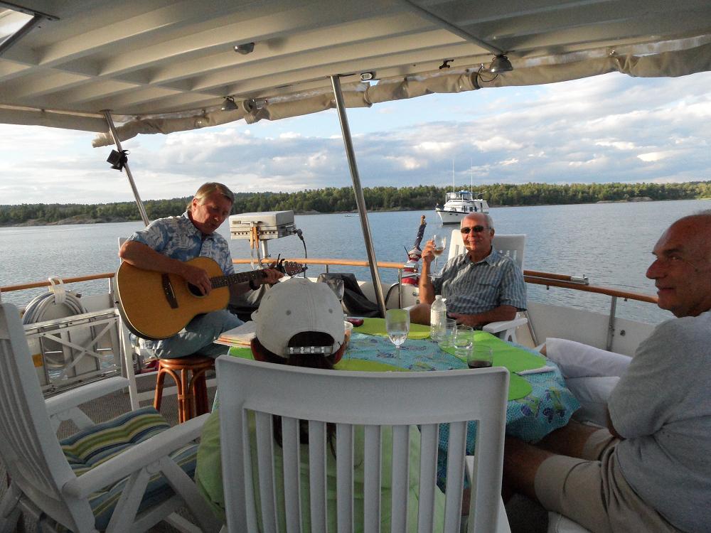 Woody playing Buffett and cowboy songs for us and Barb and Dave from Hallelujah. 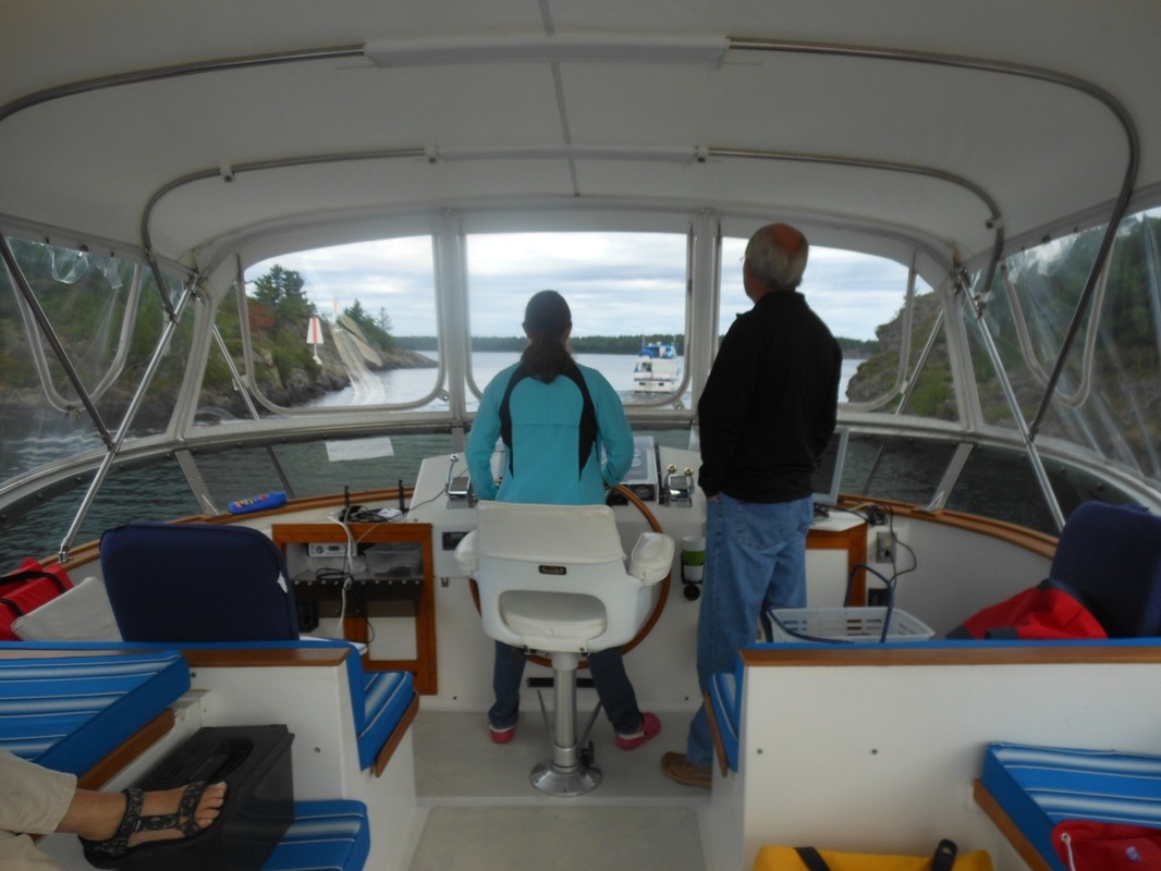 Belinda at the helm navigating a tight rocky channel. 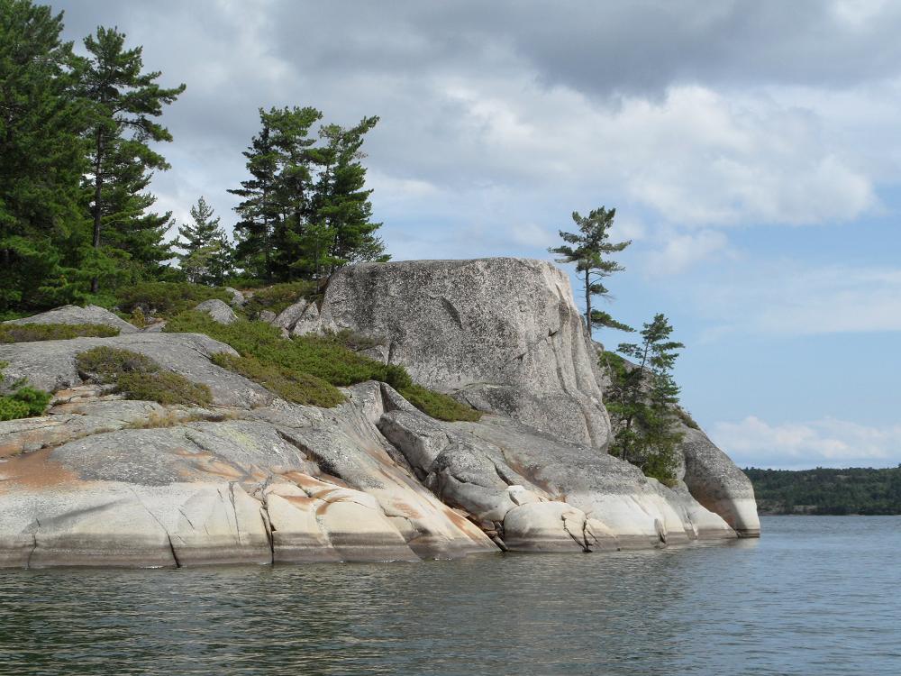 We named this rock Gilbraltar. 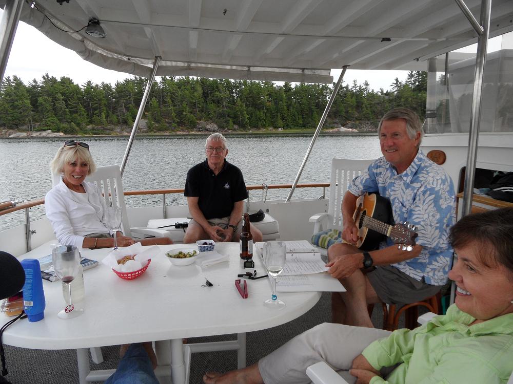 Another evening concert by Woody with Gar and Helen from White Star. |


 RSS Feed